
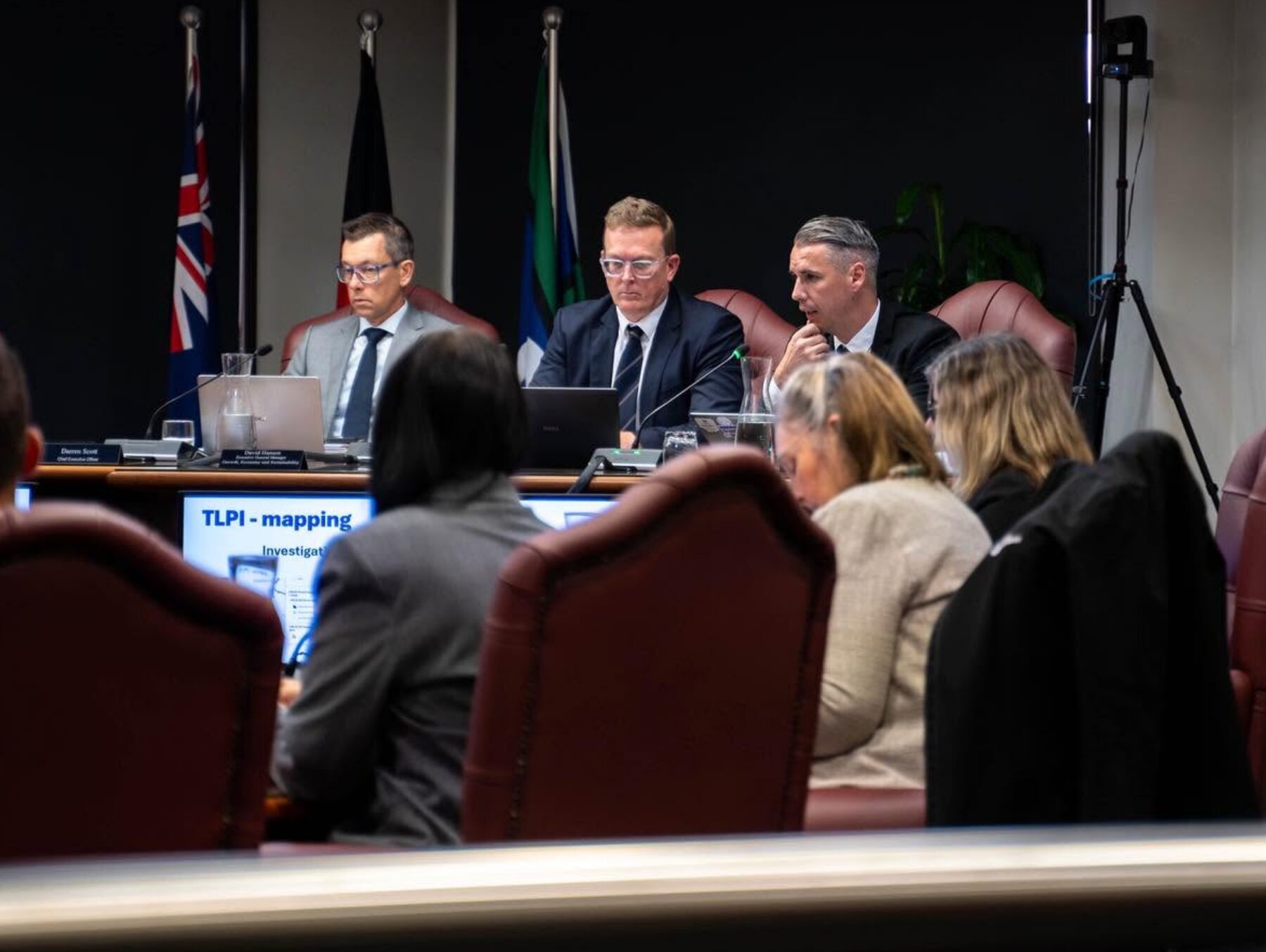
The overall number of properties in the City of Logan Council’s flood mapping overlay will more than halve after Councillors progressed major changes at a Special Council meeting yesterday.
Following decisions made in June, Council has endorsed a Temporary Local Planning Instrument (TLPI) that will simplify flood mapping and update planning controls.
Mayor, Jon Raven said the endorsed policy positions were informed by independent technical advice, community feedback and state government guidance, while continuing to support flood risk management, resilience and safety.
“We know residents feel strongly about this issue and today’s decision moves us closer to implementing the changes Council endorsed following community feedback and independent review,” Mayor Raven said.
“The changes respond to feedback while continuing to support a safe and resilient community.”
Key improvements include:
- limiting flood hazard overlay mapping to the extent of the 1 in 100 annual chance (1% Annual Exceedance Probability or AEP) flood event and removing rare and extreme floods including the Probable Maximum Flood (PMF) from the flood overlay maps;
- using clearer and more consistent flood risk terminology;
- introducing a more practical approach in high flow areas (renamed to Flood planning area 1) to allow open structures, such as carports, subject to design requirements to ensure flood flow is not obstructed;
- improving planning policy for dry creeks and gullies to recognise flooding may be frequent but shallow.
The updates will reflect Council’s decision to limit flood overlay mapping on the 1-in-100 annual chance (1% AEP) flood event.
A TLPI is a process available under Queensland’s planning framework that allows interim planning responses to be introduced before a formal planning scheme amendment can be completed.
“Once the TLPI takes effect, we expect the overall number of properties in the flood mapping overlay to reduce by 56.8%,” Mayor Raven said.
“While a TLPI doesn’t require formal consultation, we received more than 4,000 submissions on the draft Logan Plan in 2025 with the majority relating to flood mapping and planning policy.
“Feedback from that consultation has informed the preparation of the endorsed TLPI.”
Council will now submit the TLPI to the Queensland Government for approval. It would then return to a future Council meeting for adoption. Council expects the changes to take effect in early 2027.
A report on changes to the Logan Flood Portal was deferred to Council’s Ordinary Meeting on 14 October. Councillors will consider a proposed amendment to a resolution from the meeting held on 4 June relating to Property Flood Reports.
Council will continue to review submissions received on the Logan Plan and progress further work on creek mapping, with the review expected to be completed in 2027.
A dedicated webpage provides updates, timelines, FAQs and background information at: logan.qld.gov.au/Floodmaps. Residents can subscribe for email updates as new information is added.
