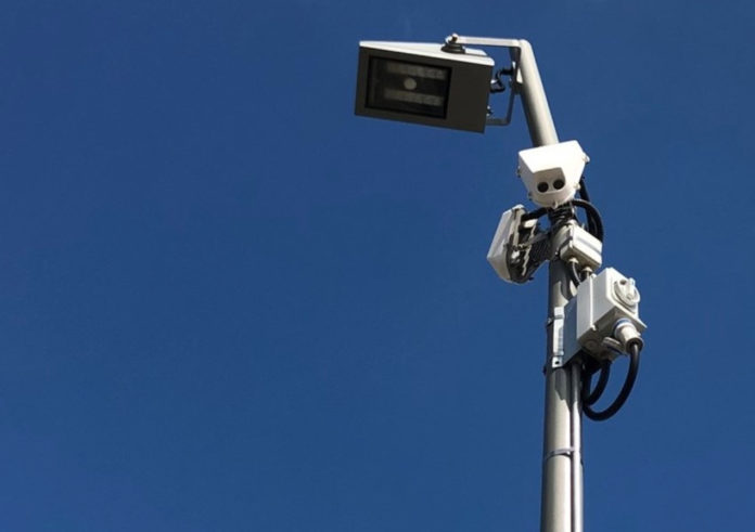
Artificial intelligence is being used to help provide smart transport and planning solutions for Victoria’s City of Port Phillip.
AI-powered traffic sensors – the first of their kind in Victoria – are measuring bike, car, truck and pedestrian movements at several Port Phillip locations and will be able to identify e-scooters when the Victorian Government’s trial of this new transport mode gets underway.
The data is anonymous as it does not capture individual moving images on roads, bike paths and footpaths. Instead, a colour assigned to each form of transport appears on a graph or radiating across an image of the sensor site. The AI capability of the Vivacity Labs sensors is so sophisticated it can even distinguish between a car and a van based on factors such as size.
Council says the sensors are a significant tool, as being able to measure what is moving where – and when – will help inform decisions to bring Council’s Move, Connect, Live Integrated Transport Strategy to life.
“This includes everything from encouraging sustainable transport by knowing where bike paths would be most beneficial to whether changes are needed to reduce congestion and improve traffic flow. Being able to monitor demand and trends can also give planners a heads-up on where future Council services, open spaces or buildings may be required,” Council said in a statement.
A pair of sensors are currently monitoring movements at both Pier Road and near the St Kilda Marina. Fitzroy Street and Loch Street intersection are due to be installed this month.
Two more sensors will be installed later this year at the corner of Buckhurst and Ferrars Street, with this data expected to help inform the development of this precinct, Council said.
Bicycle Network is partnering with Council on the project as the Australian supplier of the Vivacity Labs’ sensors.


